The History of The Old Man of Coniston
May is National Walking Month so I wanted to share with you the history behind a recent walk I did.
The Old Man of Coniston (or Coniston Old Man) is located in the Lake District and is one of the fells in the Furness Fells. It is approximately 2632.61 ft high.
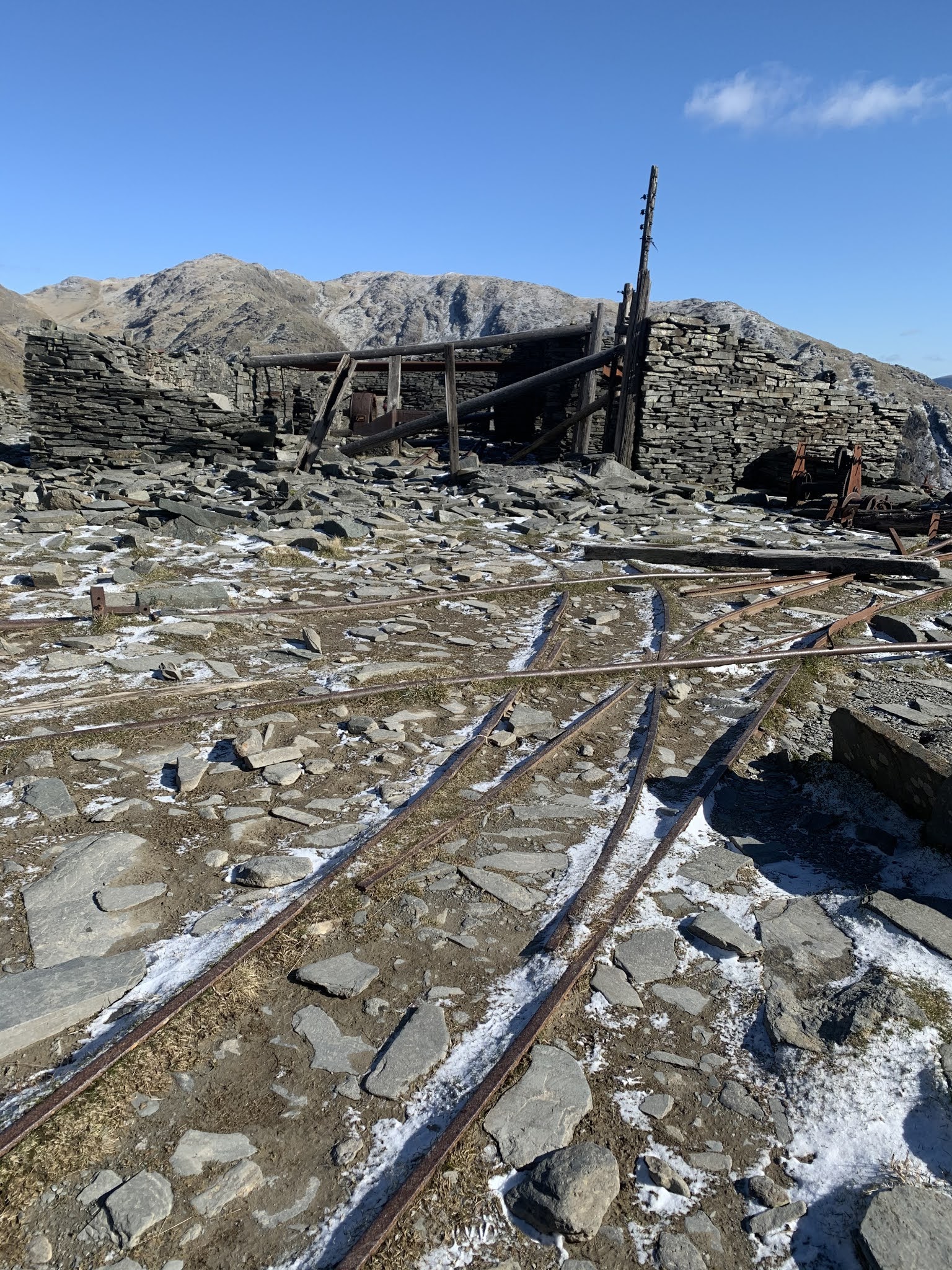
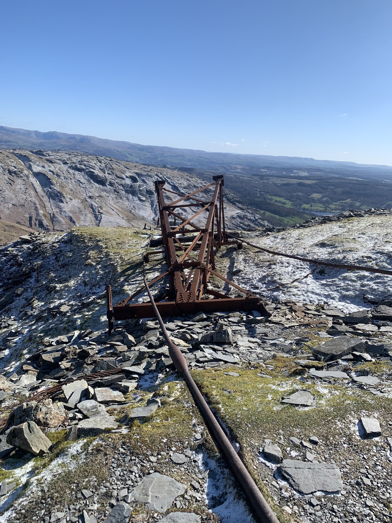
The road up to the main car park for the hike was originally built to serve the slate quarry. The Coniston Old man has an extensive slate mining history dating back to 12th and 13th centuries. It was estimated that around this time slate began to be worked here and has been worked up until the present day. By the 1500s, established slate workings were present in the area. On the stony path on the way up to the summit, you can see numerous signs of the remnants of the slate industry from buildings and machinery to electrical pylons.
The summit itself is signified by a slate platform and cairn. Although this is a great spot to have lunch if the weather is good, the summit was historically used as a warning beacon which formed part of an extensive communication system aimed at warning others of Scottish raids and other emergencies. Copper was also found in the area in the well-named Coppermine Valley. Here stands a group of cottages to house the workers of the copper mines. When the copper was mined only a small amount of what was found was actually copper. The rest was discarded into spoil heaps which are still visible today. Also visible today are spot adits - horizontal mine entrances previously used to enter the mine.
During the Middle Ages, the Lords of the Manor of Consiton allowed their tenants to graze sheep on the hillsides. They rented them parcels of land known as "stints". Over 100 years ago there were approximately 20 hefted flocks that grazed the hillside whilst today there are only about 3 flocks. We did however see plenty of sheep and goats on the trail.
The Old Man of Coniston is most well known today for the walking opportunities and stunning views. The first recorded tourist ascent was taken by Captain Budworth in 1792. For more information on the routes check out the Lake District website - once you've reached the summit it's not hugely obvious which is the way back down (unless you go back the way you came of course) so it's useful to have a map or a walking guide/pamphlet.


